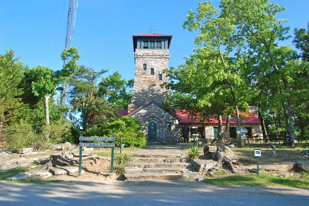
After a week of intense work training/development in Pensacola, FL, I found that my mind was a bit mushy and needed a day of woodland zen. I hopped in my wagon and drove north, a get-away with absolutely no blueprint. It wasn’t until I was on the interstate that I started talking to Siri, asking for hiking and camping suggestions, then distances and difficulty. The Alabama high point – of course! I made a camping reservation and committed to the Cheaha State Park. With one day to kill, I drove 260 miles north to the Cheaha State Park in the Talladega National Forest, the home of Alabama’s highest point (2,407 feet). I had two simple goals for my northeastern Alabama excursion – camp overnight and complete a big hike on Saturday before driving 7 hours back home.
I arrived at the ranger station at 11:30 PM, and I was very surprised to see that the office was still staffed. A weary ranger checked me in and delivered his monologue of park/camping info. He had no doubt spoken these words a thousand times on this busy day, the first day of Memorial Day weekend. I thanked him and drove out to my campsite, only to find that it was already taken. Campfire still crackling, I pointed my car beams at the pirate’s tent and spoke aloud, “Uh. Hey. This is my campsite.” A male voice from behind the nylon wall replied, “Hey man, the ranger told us to take this one since ours got stolen.” I shook my head, and a female voice added, “Yea, we had to find an empty one. Maybe you can find one too?” Angered at the prospect of sleeping under the stars in my car, I drove around a little more until I found an empty campsite, and I stole that one. Once my tent was set up, I took out my iPhone and identified a few of the stunningly crisp constellations overhead with Sky Guide, an app I had recently purchased. I quickly identified Ursa Major, Lupus, and Draco, and I said out loud to myself, “Bears, wolves, and dragons? What a frightening sky for a camper!” To avoid certain nightmares, I shut down the iPhone and hit the sack.
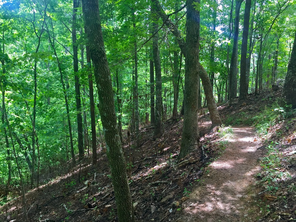
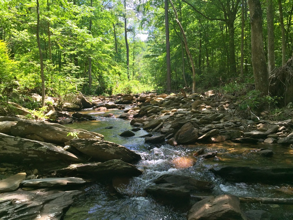
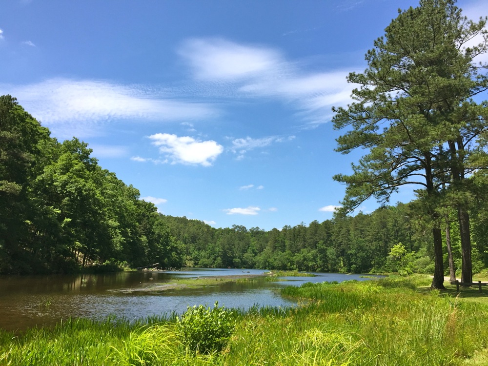
In the morning, I briefly studied the park maps and decided to connect a few trails. The result would be an eleven mile stretch from the park’s high point to Lake Chinnabee via the Pinhoti, Nubbin Creek, and Chinnabee Silent trails. Upon completion, I would be marooned on the west side of the park, and my only option would be to hitch a ride back to the park center. In the end it all worked out. Finding a ride back to my car was easy. Another park visitor stopped to ask me for directions. I helped out as best I could and bummed a ride in return.











Recent Comments